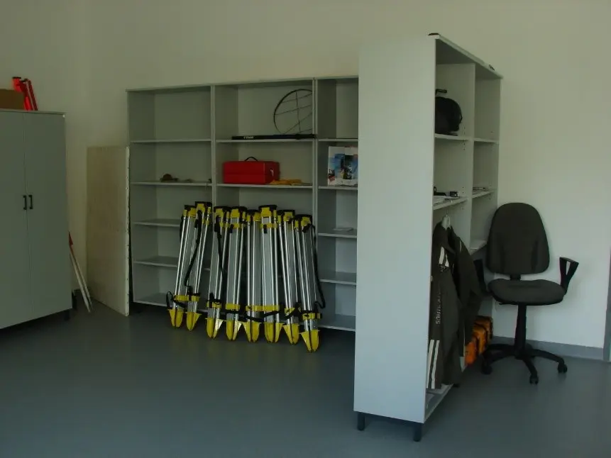
Competence of and equipment in the laboratory
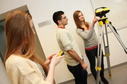
The laboratory is used by students studying Geoinformatics 1 and 2 and GIS.
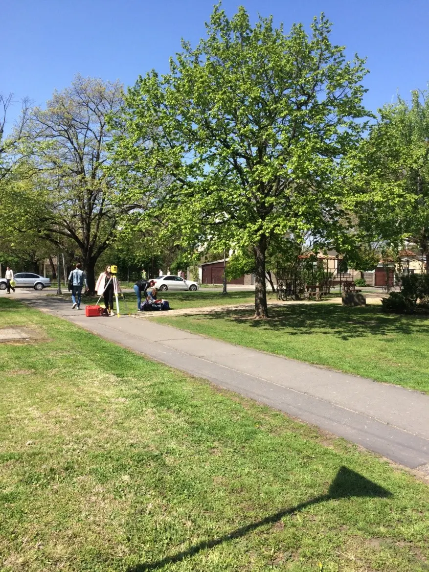
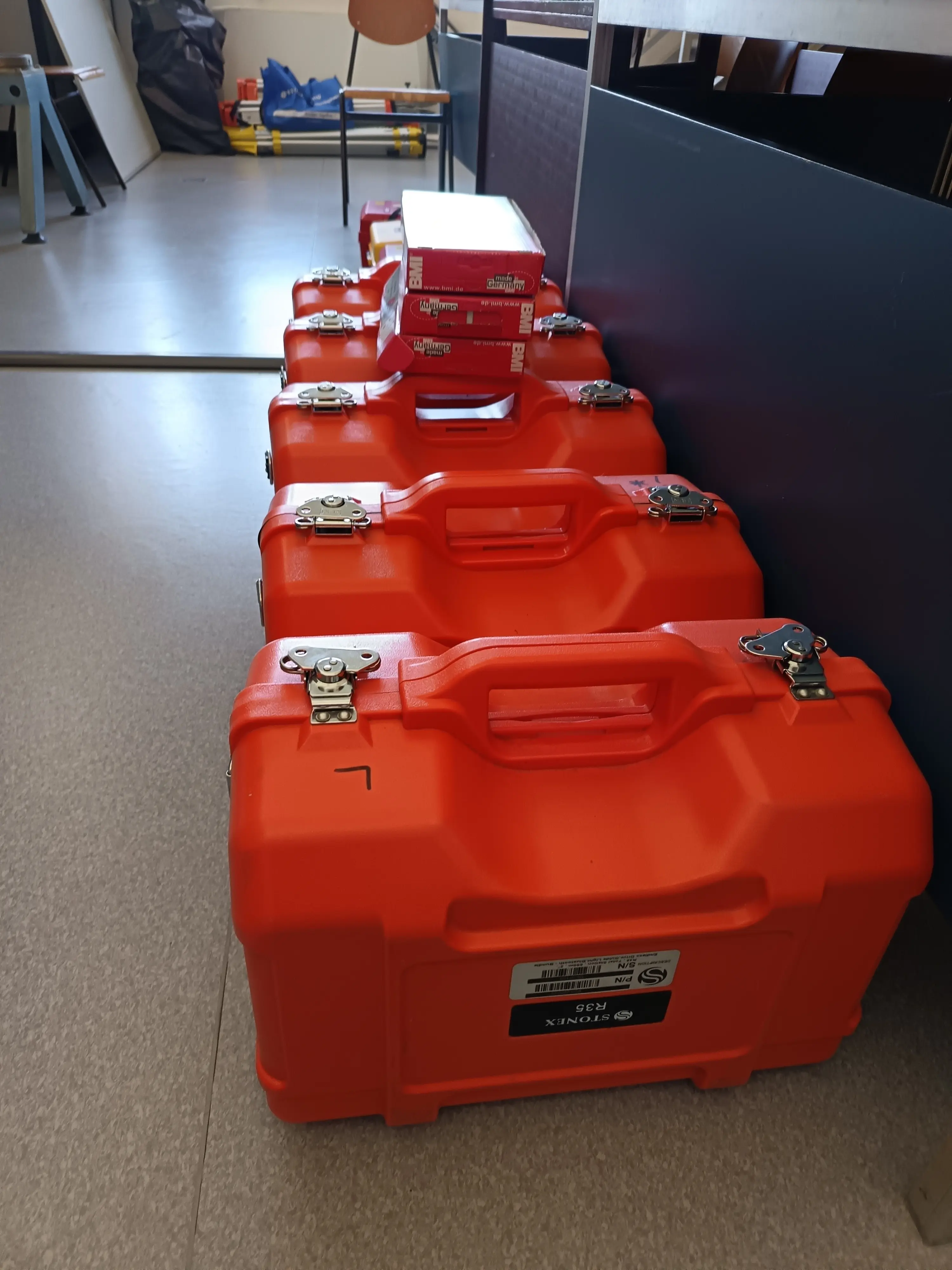
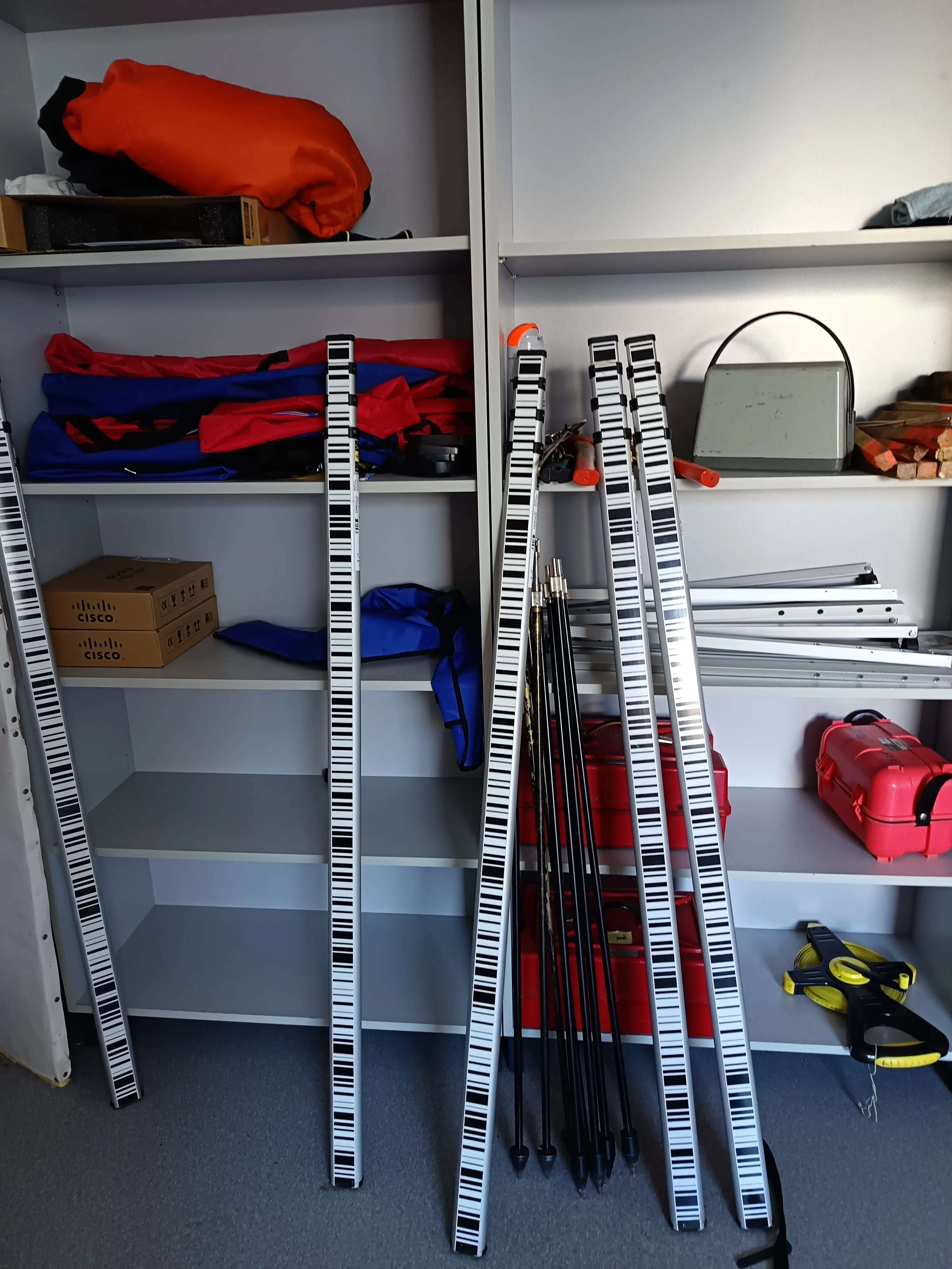
One of the main competences of the laboratory is practicing the basic geodetical measuring techniques and computations using the following tools and devices: Trimble R6 GNSS Surveying System, Leica GNSS Surveying System, Leica Builder 509 Total Station, Leica TC400 Total Station, Leica TC600 Total Station, Leica D5 Laser Distance Meter with Digital Point Finder, Leica Disto Laser Distance Meter, Prexiso Laser Distance Meter, Leica Sprinter 105M Electronic Level, Leica Runner Automatic (optical) Level, Leica NA70 Automatic (optical) Level, Leica LNA10 Laser Level and several traditional theodolites.
On the other hand there is also a Hungarian mapping solution with ITR 6 CAM software.
On the GIS practices we use an open source application called OpenJUMP. Students capture topographic and remote sensing data and collect, analyse, geometric information finally visualize results. The lab can accommodate 20 students at the same time